Group Rides
- Click in the "route/skill level" field below to preview the route, mileage, elevation, etc.
- Click the "location/parking" field for google maps links to the meeting points.
- Click in the "sign-up" field to sign up.
- NOTE: We use Strava for sign-ups so everyone can see who's coming. Simply download the app and join the First Mile Club.
- Come prepared with proper gear including a bike in working order, helmet and water.
- If you need any gear just let us know, we've got everything you need in stock.
- Roll time is roll time! Please arrive fifteen minutes before the posted time.
- We limit group size to six in Joaquin Miller Park, so sign up early for those!
- Save time at the ride: e-sign the waiver
Upcoming Rides
| DATE/TIME | ROUTE / SKILL LEVEL | LOCATION / PARKING | DURATION | SIGN-UP |
| Wednesday 4/24/24 | 5:30pm | JMP Standard / Intermediate | JMP Parking Info Center | 1.5 hr. | Strava Sign-up |
| Thursday 4/25/24 | 5:30pm | Thirsty Thursday Gravel - Advanced | Canyon Club Brewery | 2.0 hrs. | Strava Sign-up |
Ability Level Descriptions
Beginner
- Beginning to work on:- climbing up to 300'
- Lafayette/Moraga Trail
Intermediate
- Comfortable with:- climbing up to 1000'
Advanced
- climbing up to 1500' and more
Ride Descriptions
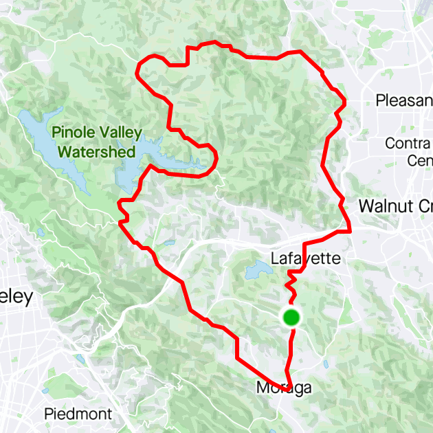
EAST BAY - MTB
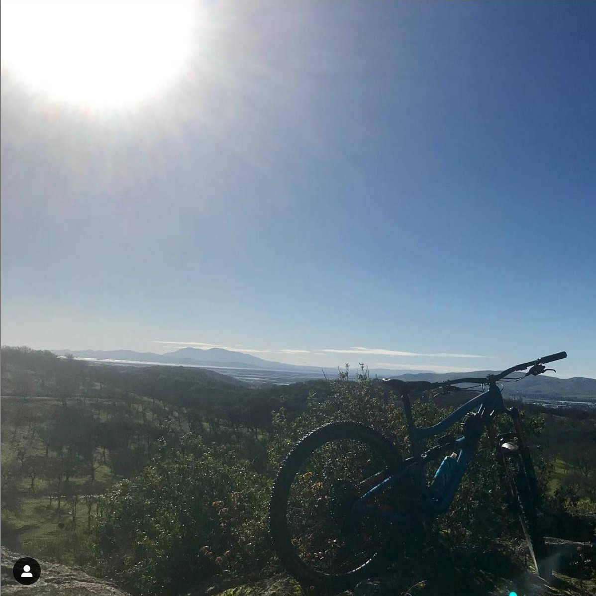
Lime Ridge
Open space right outside Walnut Creek on the way to Clayton. Beautiful views with moderate climbs and flowy descents.Trails and features for everyone from beginners to experts.
Our standard loop starts on Thorn Alley, then goes up to Middle Trail, then we go play in the quarry, and wrap up with a fire road climb to the Back Nine descent.
Distance/Elevation/Time
- 7.2m / 1,400' / 1.5 hrs.
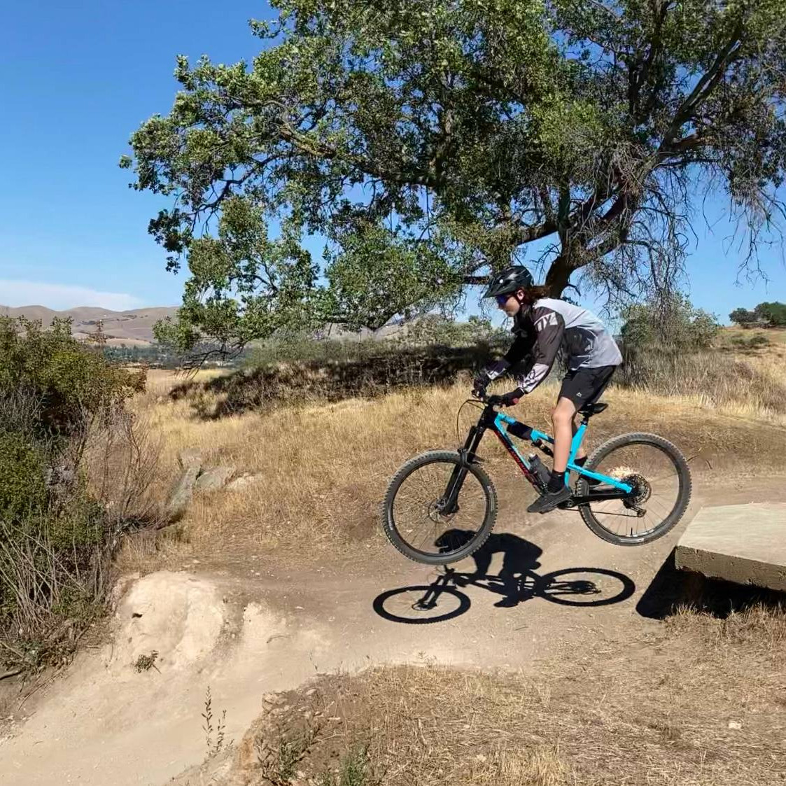
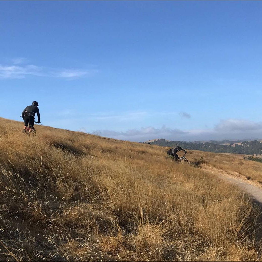
Joaquin Miller Park
Beautiful Redwood trails in the Oakland hills with smooth double track for beginners and steep flowy tech for shredders.
Our standard route starts at the Ranger Station parking lot, climbs up to Skyline via the Sequoia Bayview Trail, then descends Big Trees, Chaparral and Cinderella. Tons of other variations too!
Distance/Elevation/Time
- 7.5 m / 1,100' / 1.5 hrs
*We recommend parking in one of the lots vs on the street to avoid the chance of a break-in.
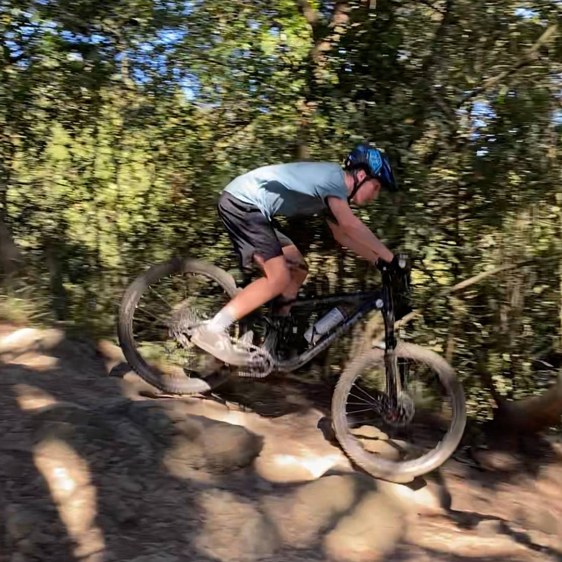
Rockville
As the name suggests, this place is techy! We recommend Rockville for intermediate to advanced riders. A hub and spoke trail system about half an hour from Lafayette, Rockville is a key park to get to know if you live in the East Bay.
We like to start with Tilly's, then Rock Garden, the Mystics to Cascade (if you're feeling brave), and finish with Cave to Quarry.
Distance/Elevation/Time
- 7.8m / 1,400' / 1.5 hrs.
*Note there is a $3 day use fee you can pay at the gate, and E-Bikes are not allowed at Rockville.
EAST BAY - ROAD
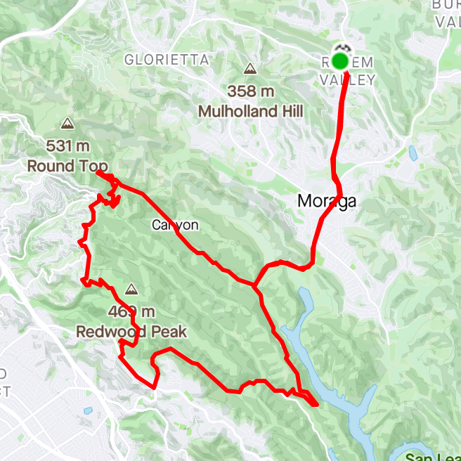
Three Bears
An East Bay classic, Three Bears takes you around the northside of Briones. This is a key ride to have under your belt as a baseline for other rides in the area.
*The version of this loop shown here starts and ends in Moraga. On our group rides, we'll start and end at the shop which cuts off a few miles.
Distance/Elevation/Time
- 33m / 2,800' / ~2 1/4 hrs
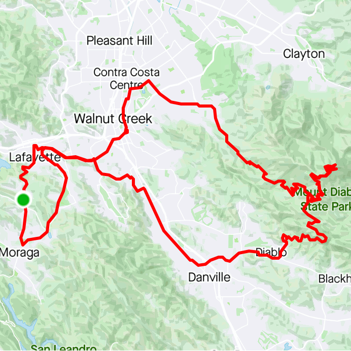
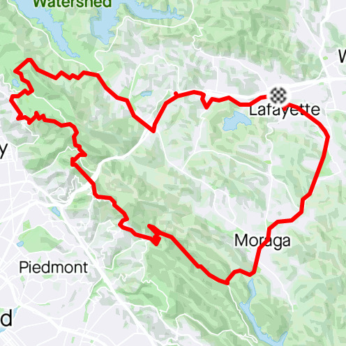
Mt. Diablo
At 3,849', Mt. Diablo is the tallest peak in the Bay Area. On a clear day you can see all the way to the Sierra!
This route goes up from the Nortgate and exits via the south gate. It starts and ends in Moraga, but we've listed parking details below at the Olympic Staging Area in Lafayette.
Distance/Elevation
- 54m / 5,050' / ~4hrs.